


Introduction
Canada is an immense territory with diversified geography. It has a surface area of 9,984,670 km2: 9,093,507 km2 of land and 891,163 km2 of water.
As opposed to Montreal and Toronto, a large part of Canada’s territory had yet to be developed, meaning that wide-open spaces were available for establishing industrial infrastructures and accommodating hosts of migrants and immigrants.
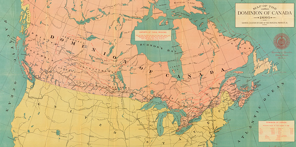
Map of the Dominion of Canada, 1886
[cartographic material]: showing the location of some of the principal products & Dept.
Library and Archives Canada, MIKAN 3698585.
Economic development and transportation were interdependent, and the years following the great canal works witnessed the frantic development of railroads across the entire country. Rail transport largely contributed to Canada’s growth during the initial phase of industrialisation, making it possible to cover great distances and deliver goods swiftly and efficiently. Furthermore, the rise of marine and rail transportation also contributed to the expansion of heavy industries and industrial suppliers.